


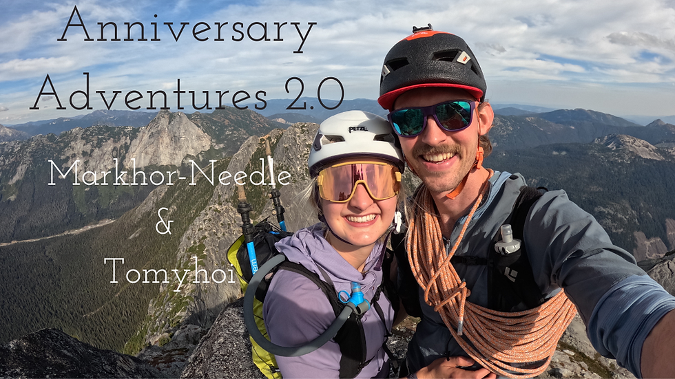
MacFarlane West Ridge Loop
- Greg Luesink
- Aug 18, 2024
- 3 min read

I'd been wanting to check out the trail put in by Max DeJong up MacFarlane's West Ridge. Finally got around to it with my friend Kevin!

I'll start with the map this time, as it makes the route more understandable. If you want to repeat the route, click the photo to find the Strava link. Get ready for one of the steepest trails you've hiked, some navigation, and an exposed class-3 scramble at the top.
I met a local legend / alpine climber/paraglider named Max Dejong at the climbing gym, and he kept telling me about this trail he made up MacFarlane's West Ridge for a glider launch. In April, I'd done a scouting mission, reaching snowline somewhere around 1500m. It was pretty steep and eventually too snowy to continue to the summit, but it was a good recon mission.
April Recon Mission


August Mission
By mid-August obviously all the snow was melted, so it was a great time to complete this route, with intentions of linking into a loop down the regular trail. My friend Kevin and I started just before 8 am at the main road, parking at the army base. We jogged southbound (on the right side of the map) for 6.5km before reaching the turn-off for the trail. Without the GPX file, or having reconned, it would be hard to find the start of the trail, which sprouts off the FSR leading to the Slesse scrambler route.


Once off the FSR, the trail skyrockets uphill. More accurately, this would be called a "goat trail" as it can be hard to distinguish from much of the time. Thanks to the GPS track, we didn't stray too far from the intended path and eventually found ourselves high up on the ridge. There is one cliffy-bluff that we bypassed on the right up a tree-filled gully, and we reached my high point of 1500m or so.


As the trees thinned, the views improved, and we enjoyed the clear skies and sun lighting up the neighbouring Border Peaks. Notably less snow in August compared to April! We eventually reached the last couple hundred metres, which required a bit of class-3 scrambling.
My personal take is that Class-3 scrambling requires intermittent concentration and sometimes specific foot-and-hand-holds, but does not require constant use of hands, and can be accomplished (if desired) while still holding onto poles or by using only one hand for balance. In addition, there is often exposure, but low risk of actually falling. Most often the rock is a little crumbly, at least in the Chilliwack River Valley! Like all rating scales, it is all subjective. You don't know until you "feel" it!


The scramble was pretty enjoyable with "decent" rock, and neat formations of rock to navigate through and around. We took our time and found a good line up the spine of the ridge, eventually reaching the summit! Coming from the "wrong side", we surprised many hikers who'd taken the regular trail up. After snapping a couple photos, we hurried down for a dip in Upper Pierce Lake.


We jogged down the main trail and ran along the main road for a short ways before arriving back at the truck. All in, a fantastic twist on a valley classic. If you want to mix things up on MacFarlane, this is a great route to test your hill climbing, navigation, and scrambling skills on.


Comments